

Description
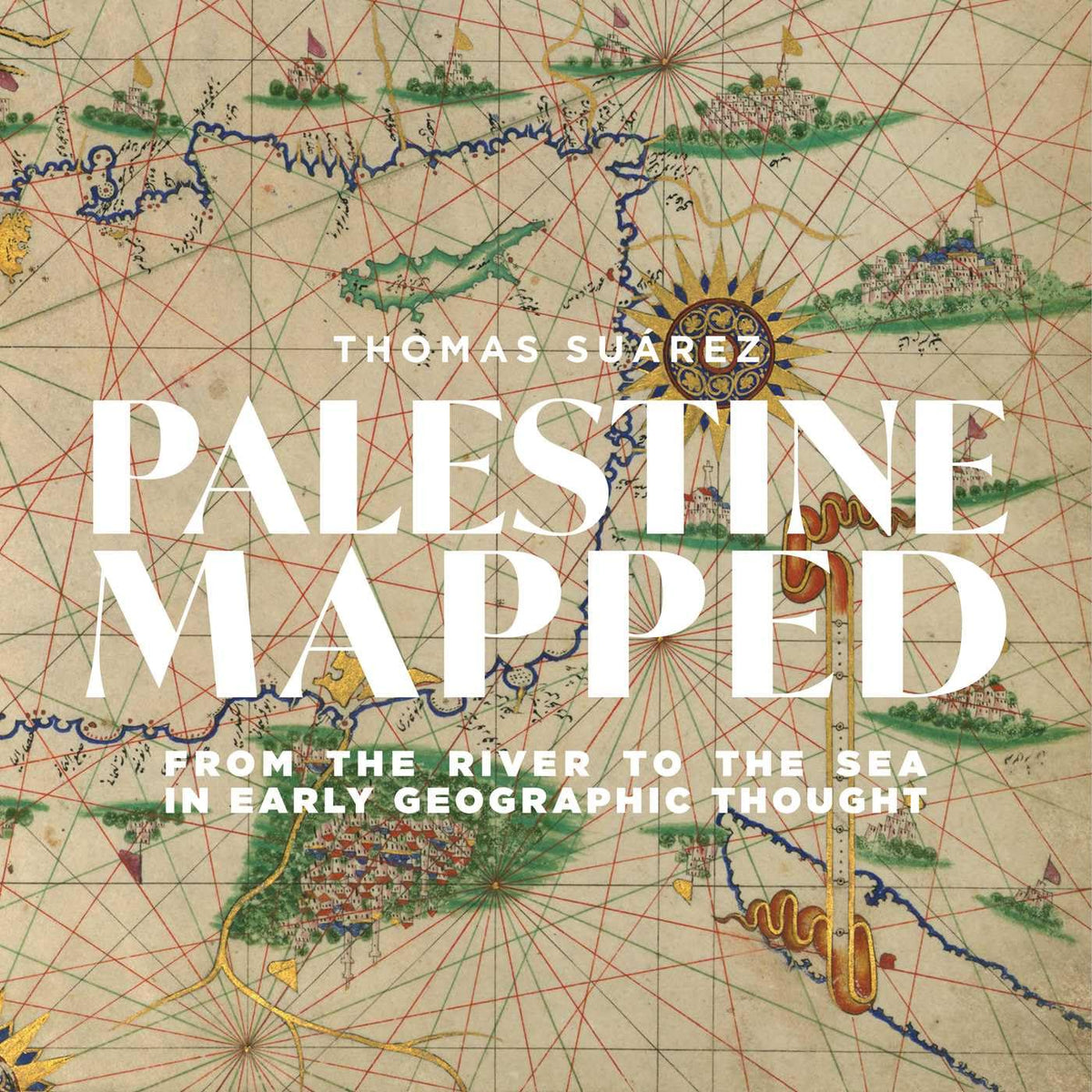
A lavishly illustrated and meticulously guided excursion through the mapping of historic Palestine from the earliest record through to the twenty-first century.
Palestine is as much a place in the psyche of those who mapped it as it is a region of the earth. An authority on the history of cartography who has also written extensively on Palestine, Thomas Suárez is uniquely qualified to address the mapping of this region “from the river to the sea.”
Richly illustrated, Palestine Mapped guides the reader through the Greek and Roman concepts of Palestine, those of various medieval Mediterranean civilizations, and the European “Holy Land” mapping that has dominated for half a millennium and continues to inform modern political thought. Suárez dissects that prevailing mindset rather than viewing the land through its lens, setting the book apart from all others on the mapping of the region.
ASIN: 1623716152
VSKU: BVV.1623716152.G
Condition: Good
Author/Artist:Suárez, Thomas
Binding: Hardcover
Note: Any images shown are stock photographs and product may differ from what is shown.
Condition Notes: The item shows wear from consistent use, but it remains in good condition and works perfectly. All pages and cover are intact including the dust cover, if applicable . Spine may show signs of wear. Pages may include limited notes and highlighting. May NOT include discs, access code or other supplemental materials.
ASIN: 1623716152
VSKU: BVV.1623716152.G
Condition: Good
Author/Artist:Suárez, Thomas
Binding: Hardcover
Note: Any images shown are stock photographs and product may differ from what is shown.
Condition Notes: The item shows wear from consistent use, but it remains in good condition and works perfectly. All pages and cover are intact including the dust cover, if applicable . Spine may show signs of wear. Pages may include limited notes and highlighting. May NOT include discs, access code or other supplemental materials.